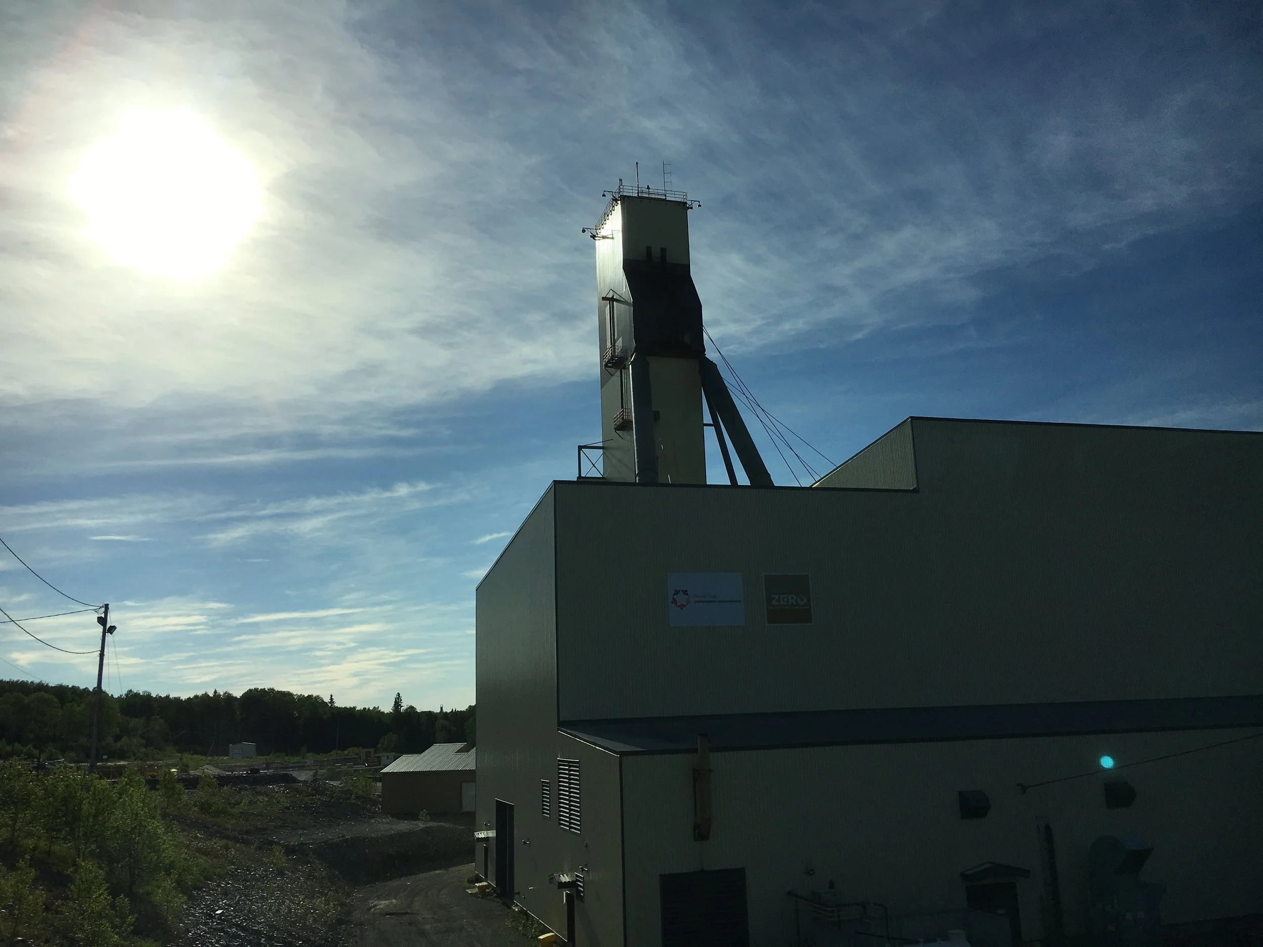
Oakhurst has a land position of approximately 35 km² located in Mountjoy township. The claim block is ~5km NWW along the trend of the major rock group that hosted the main gold production centre of Timmins. The Timmins camp has produced more than 80Moz of gold since its discovery in the area in 1909.
Management has worked in the township for more than thirty years and has build an extensive geological data base for the area. Previous work on the claim group includes:
Desk studies and reinterpretation of Ontario Ministry of Mines assessment files;
Mobile Metal Ion soil sampling composed of 6,366 discrete samples;
Induced Polarization (“I.P.”) geophysical surveys consisting of seven lines in prospective areas of the township;
Airborne Electro Magnetic (“E.M.”), Gravimetric and Magnetic (“Mag”) surveys at a township scale;
Water Well Drill log compilation from government data bases composed of >680 drill holes;
Geological Field Mapping; and,
Geological and structural reinterpretation.
There is at least $13M of previous grassroots geological work in the Township over the last 15 years that has yet to be diamond drill tested. The mosaic compiled by Oakhurst shows that the regional geology of Mountjoy Township has been incorrectly mapped for more than a century and is far more prospective for gold than previously thought.
Link to Map - Borehole Bedrock Intercepts
Link to Map - Historical Soil Sampling and Geophysics
The geologic assemblages and structures suggested by the evidence are similar to those that hosted the MacIntyre Mine ~5km east of the land packages.


